THE GRID SCAN FILMAI visualisation · illustrative scan and results
SERVICES / START WITH THE QUESTION
Understand your site. Layer by layer.
Choose the question you need to answer. We scope the capture and outputs around it.
01 / GROUND TERRAIN3D MODEL
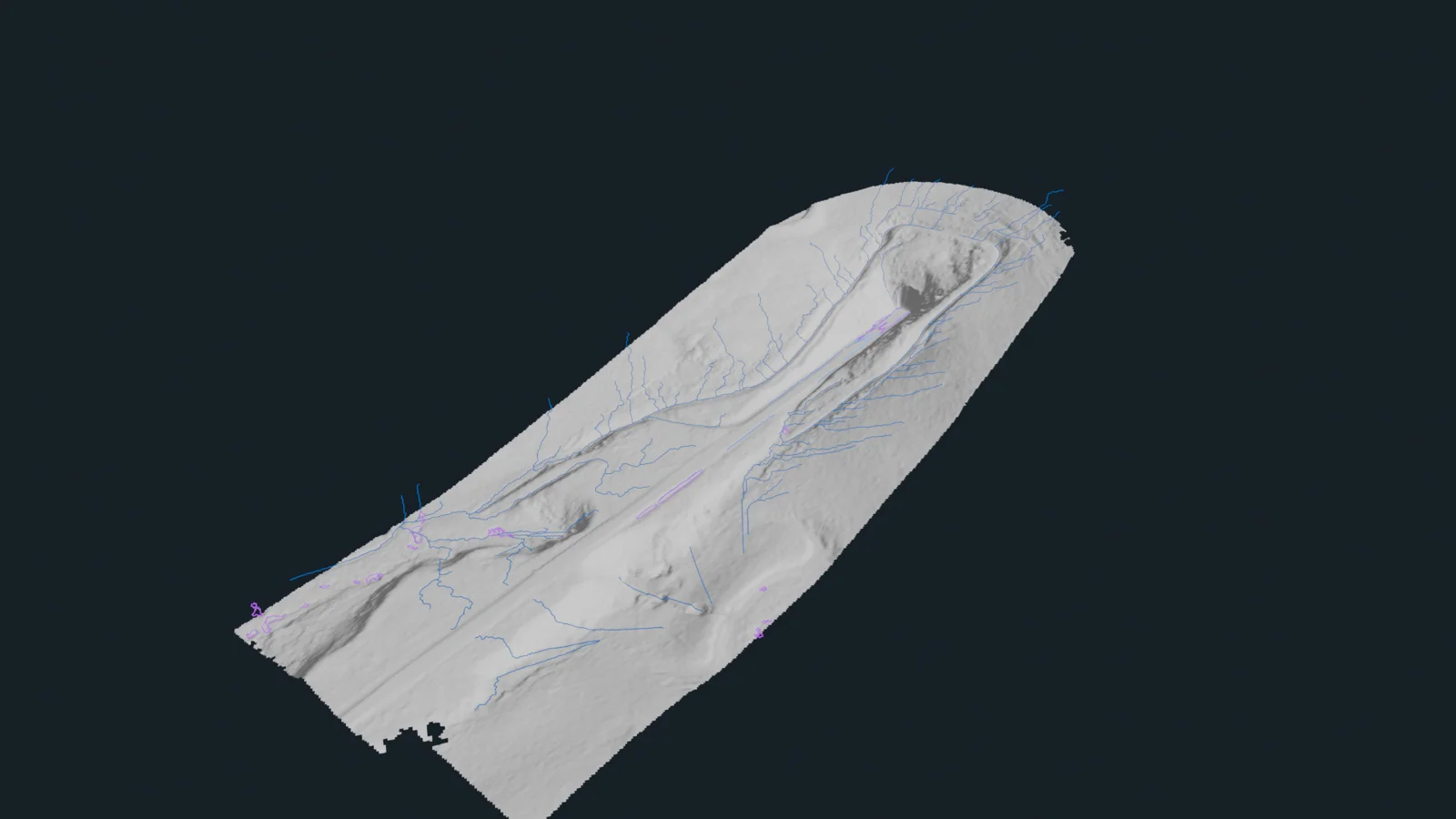
Understand slopes, ground form and low areas from a georeferenced terrain model. Ground visibility and achievable detail depend on conditions. Rail-project example shown.
YOUR OUTPUTGeoreferenced terrain model + ground context
REAL PROJECT / RAIL SURVEY
One survey. Several useful answers.
Explore vegetation clearance, ground terrain and drainage from the same capture.
140M+ points in this rail survey example
VEGETATION + 3D CLEARANCEFULL HD / 1080P
Drag to explore the survey
01 / ONE SURVEY. CONNECTED LAYERS.
Move through the evidence.
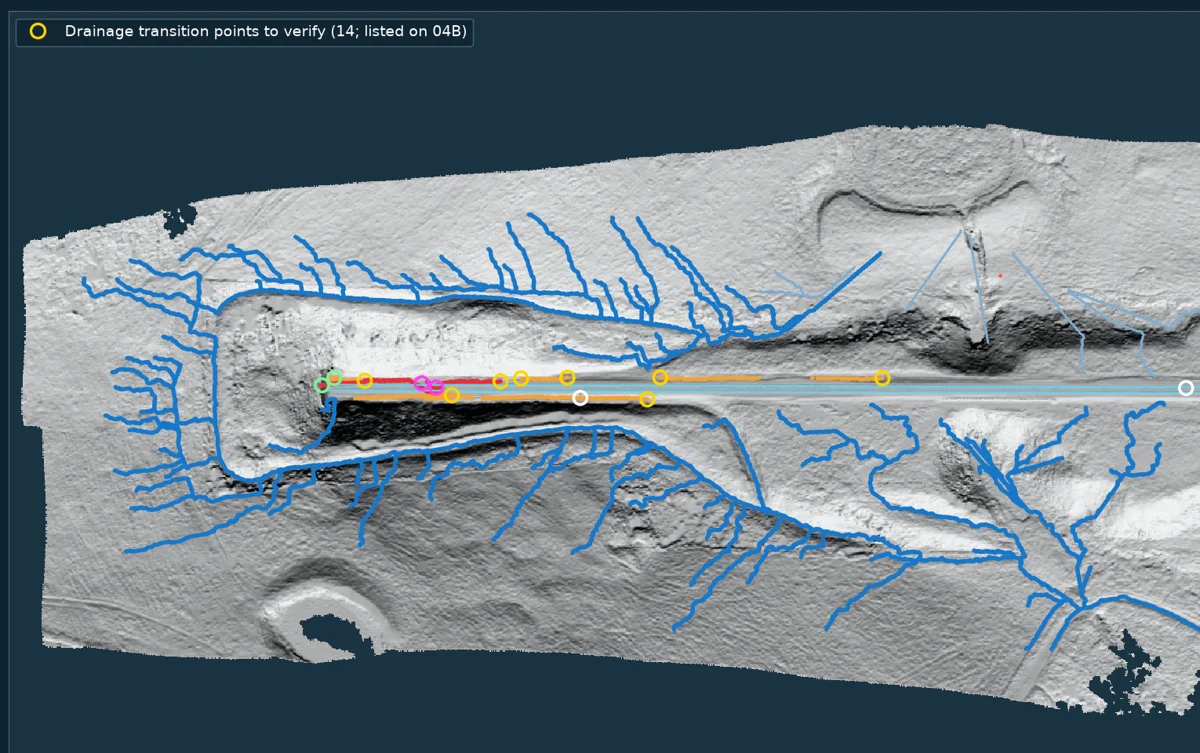
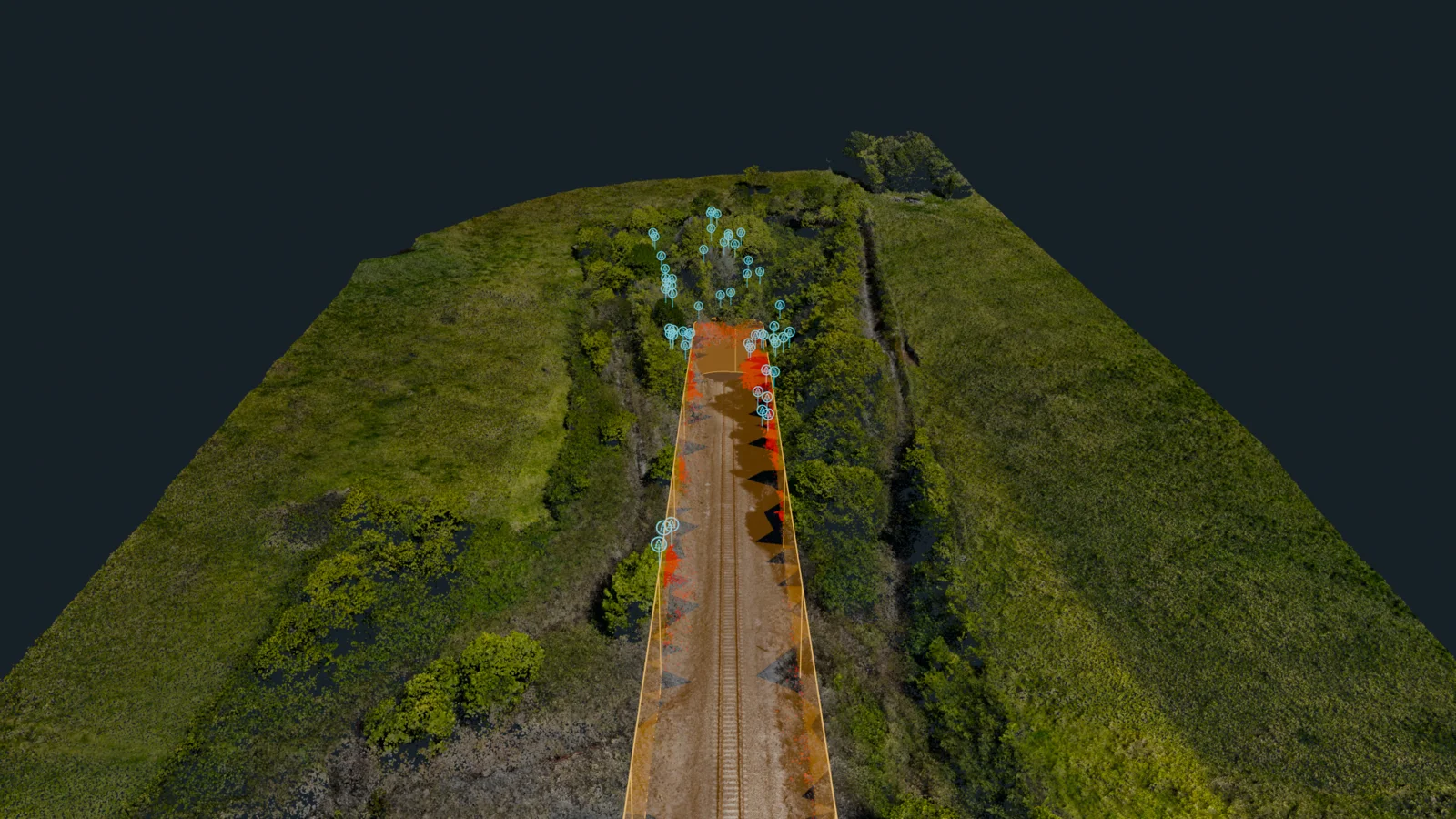
Scrub from vegetation and the true 3D clearance envelope into terrain and drainage. Choose a chapter or play the tour.
Clearance intersections, flow paths and low areas are screening candidates for field or engineering review. Water shown is modelled, not observed.
Same survey throughout · original 1080p project frames
Explore ground classification and earthworks evidence +
COLOUR LiDARGROUND MODEL
02 / TERRAIN UNDER CANOPY
Separate the surface from the cover.
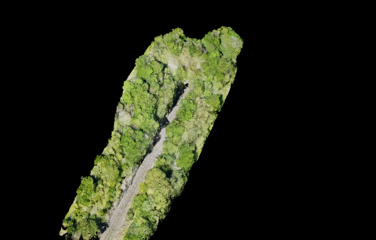
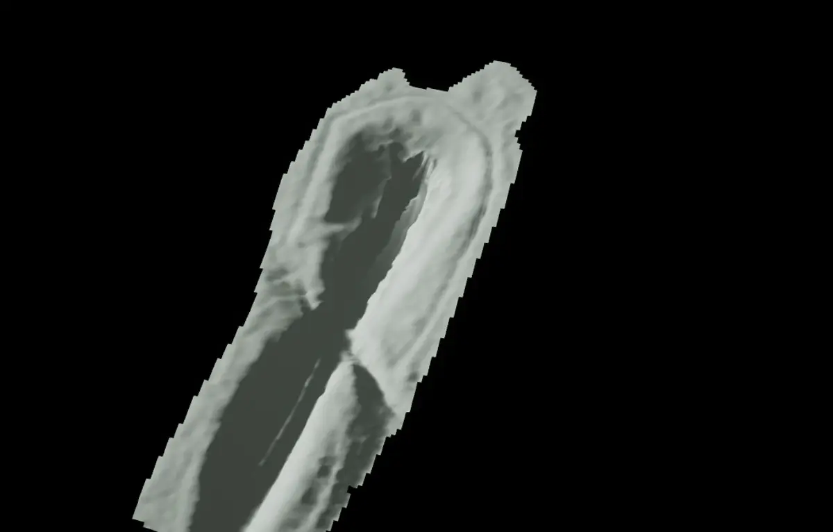
Slide between colour LiDAR and the classified ground model from the same project viewpoint. Review the formation, slopes and low ground with vegetation visually separated.
A classification view, not a before-and-after survey. Gaps in ground returns remain unknown; the model does not prove hidden drain condition.
— CANDIDATE BOUNDARYSEPARATE CAPTURE AREAS
03 / EARTHWORKS CONTEXT
Define the question. Keep the gaps visible.
Review interpreted cutting limits around the formation and side slopes. These two candidate boundaries stay separate across a processing exclusion.
Actual draft polygon geometry, simplified in presentation. Boundaries need review; they do not certify the crest, excavation limits or slope stability.
Agree the capture area, positioning requirements and deliverables before collection. Every model states its source and limitations. Screening helps qualified teams target field verification; it does not certify asset condition.
CAPTURE
LiDAR + photogrammetry
SPECIALIST
True 3D rail clearance screening Kinematic envelope and potential tree reach, with parameters agreed for each project
INTEGRATION
GIS-ready outputs and point clouds Handoffs for platforms such as Pointerra, scoped to your requirements
OWNERSHIP
Your project. Your data. Data ownership stays with the client.
Repeat surveys and specialist applications +
Repeat captures can track erosion, growth and surface change. Earthworks interpretation and high-voltage asset or conductor-clearance screening require an agreed scope, control and assurance.
ABOUT GRID SCAN / LET’S TALK ABOUT YOUR SITE
Let’s see what your site’s hiding.
Grid Scan turns aerial survey data into practical evidence for the people planning, maintaining and managing a site.
Tell us the location, the assets and the decision ahead. We’ll help scope the capture and deliverables.


 Drainage observation